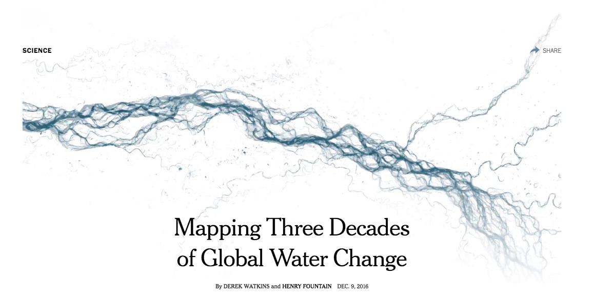
 www.nytimes.com/interactive/2016/12/09/science/mapping-three-decades-of-global-water-change.html?emc=eta1&_r=2Thirty years is a short time geologically. But in the life of hydrology, a lot can change. These data visualizations, recently developed the New York Times, are created from a 30-plus year dataset from the Global Surface Water Explorer. Underlying the datasets are over 3 million Landsat images, "or nearly two quadrillion bytes (1.8 petabytes) of data. The images were processed in the cloud by 10,000 computers using Google’s Earth Engine platform, classifying each 100-foot by 100-foot pixel as water or land." One can download the datasets themselves and develop their own projects.
0 Comments
Leave a Reply. |
